Miller Reports, Maps and Data
 Miller Hydrogeological Study at the Request of CPTAQ (January 2024)
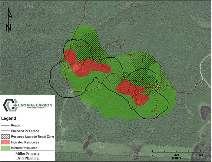
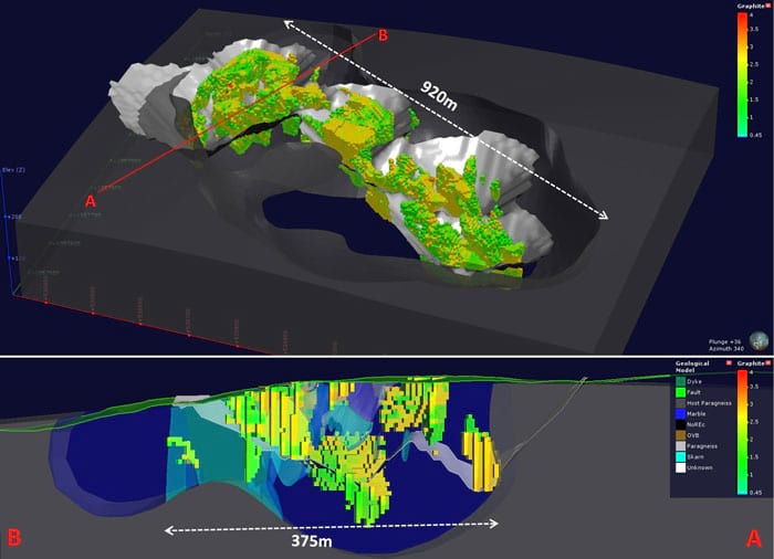
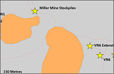
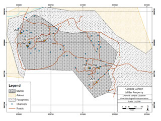
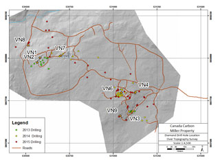
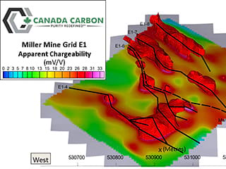
Miller Property - Showings Inside New Pit Shell
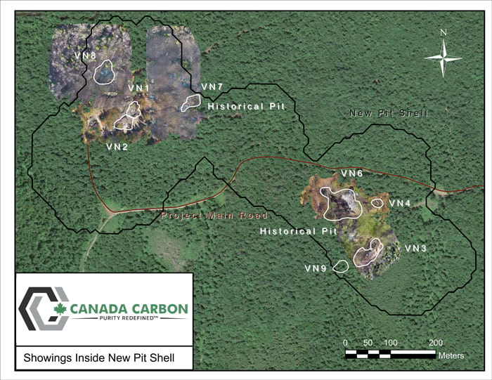
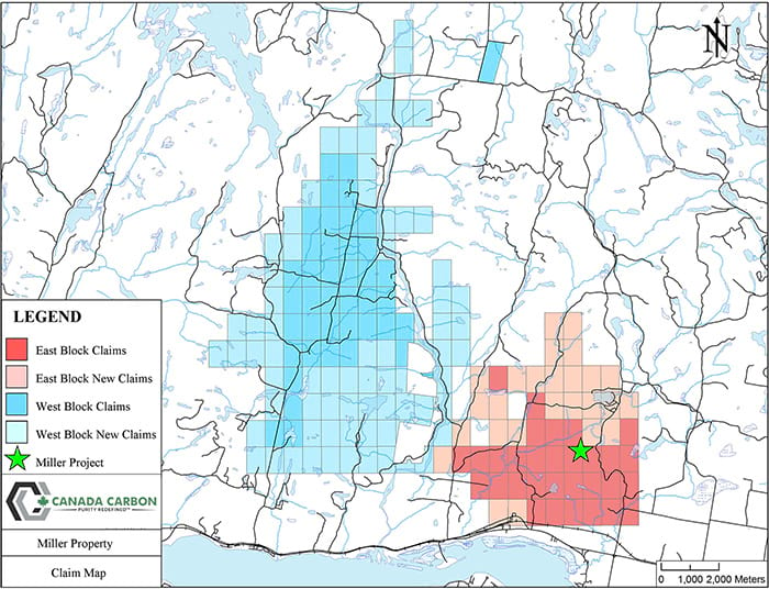
Download High Resolution Map of the Miller Property (49MB)
Download Very High Resolution Map of the Miller Property (99MB)
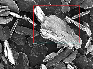
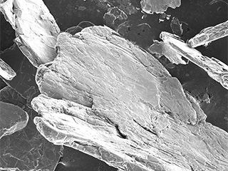
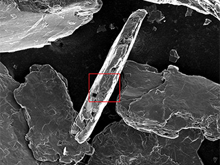
Scanning Electron Microscopy (SEM) Images of Canada Carbon's High Purity Graphite
Sample A
Sample B
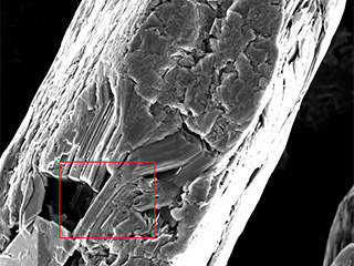
(2500 X magnification) Magnified view of the same crystal, revealing highly ordered layering (left side of image), with minor mechanical damage (right side of image).
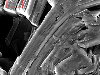
(10,000 X magnification) Higher magnification view of the same crystal, revealing sharp crystal edges.
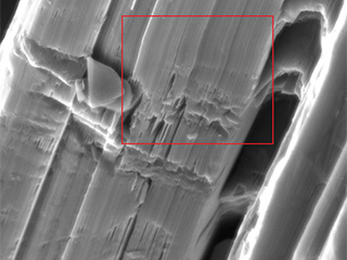
(65,000 X magnification) Still higher magnification view of the same crystal, revealing sharp edge of crystal, with near perfect layering of graphene sheets.
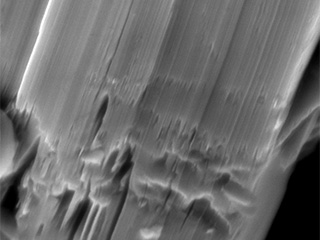
(150,000 X magnification) Even higher magnification view of the same crystal, revealing what is thought to be a fractured surface adjacent to nearly perfectly crystalline graphite crystallite domain.

